Visual storytelling
Defining the message, aligning teams around positioning, then leading the execution. At Hiflylabs, that meant collaborating across design, marketing, sales, and upper management to bring content to life. Here’s an example from our 'AI Solutions' video series, which I briefed, directed, and seen through from concept to final cut:
Technical writing
Good copy makes complex ideas feel intuitive at a glance. This piece is one of my most-read on Medium, translating deep, technical concepts with simple examples.

Brand design
Démétér Biosystems evolved from a small-town startup into the leading voice of regenerative agriculture in Hungary, with the ‘Talajreform’ brand earning nationwide recognition. This authority brought enterprise partnerships, government consultancy opportunities, and rapid growth. I had the privilege of refreshing all brand visuals, including logo, key art, and packaging design.


Content factory pipelines
Architected and operationalized “single source of truth” administrative culture as Content Manager in Hiflylabs’ marketing and pre-sales processes:
Daily content production
- Publishing calendar
- Cross-team resource alignment
- Task tracking
Organic growth foundations
- Topic map
- Digital presence library
- Audience journeys
Sales enablement
- Pre-sales collateral and reference catalog
- Template and asset libraries
Monitoring and analytics
- Campaign metrics
- Social dashboard
- Quarterly OKRs
Strategic planning
- 6 month marketing roadmap
- Team RACI matrix
- Competitor research
GIS data visualization
Archaeology and agriculture share more geoinformatics methodology than you'd expect, which made the transition between the two jobs natural. Here’s a figure from 2021, comparing three different sampling strategies (soil scanner, precision, and grid-based) and how they produce different spatial interpolations of organic matter and phosphorus across the same field. The underlying skill is the same whether you're mapping a prehistoric cemetery or a plot of farmland: collect, process, and make sense of spatial data.

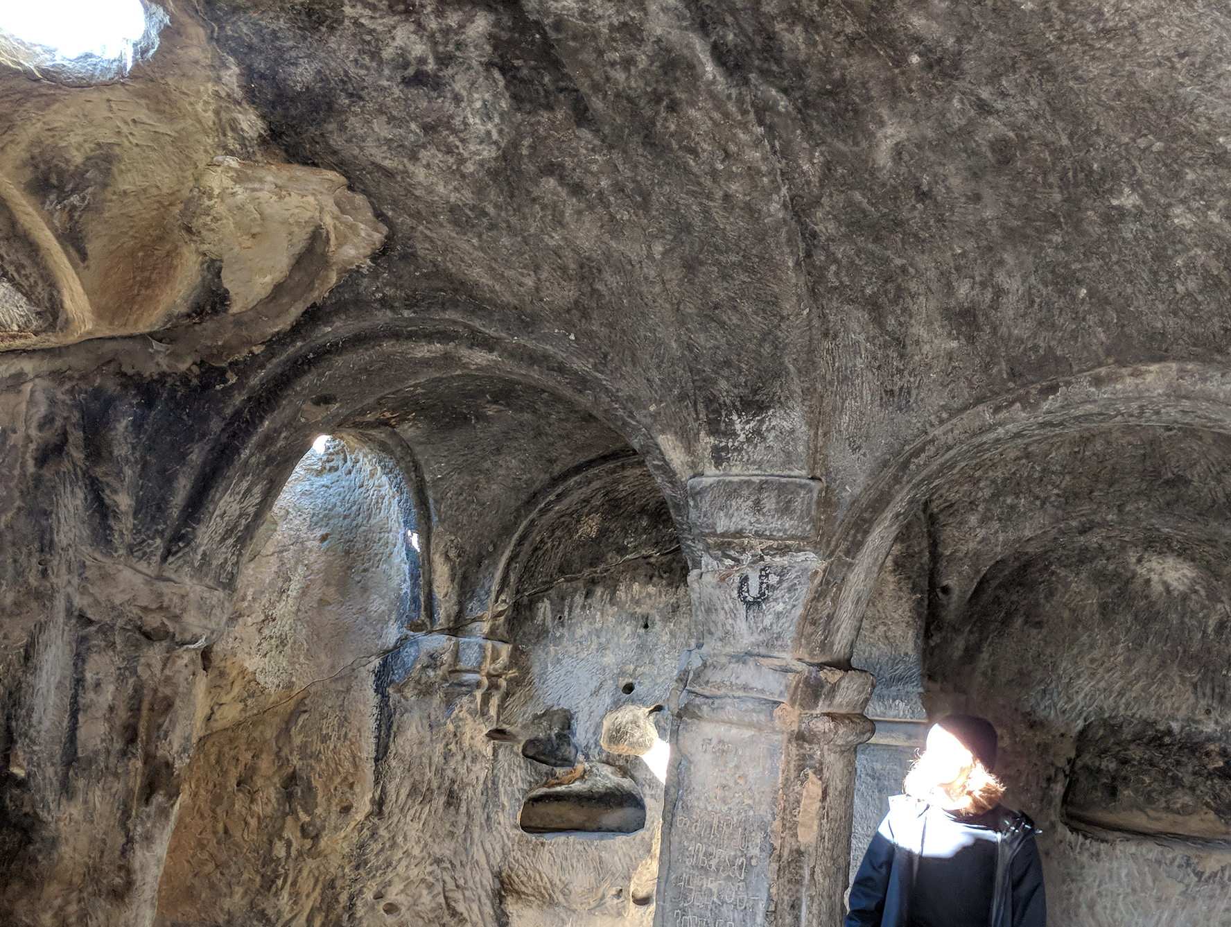
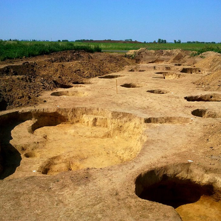
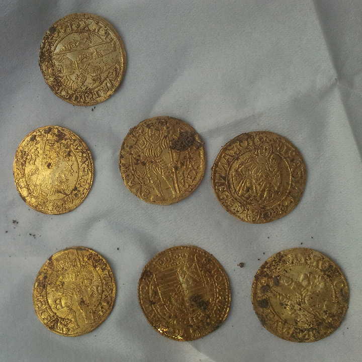
Digging things up
My university degree is in Archaeology and History, with a specialization in Archaeometry. During my studies, I spent a total of 2.5 years on-site as a field technician. Beyond fieldwork, I've dabbled in GIS database management and 3D geospatial analysis across three seasons at an international excavation, and served as an EU project assistant at the same site for a year.


Some good ol' sketches


Photography